 Passes, peaks, terraces and villages of Lai Chau, in English
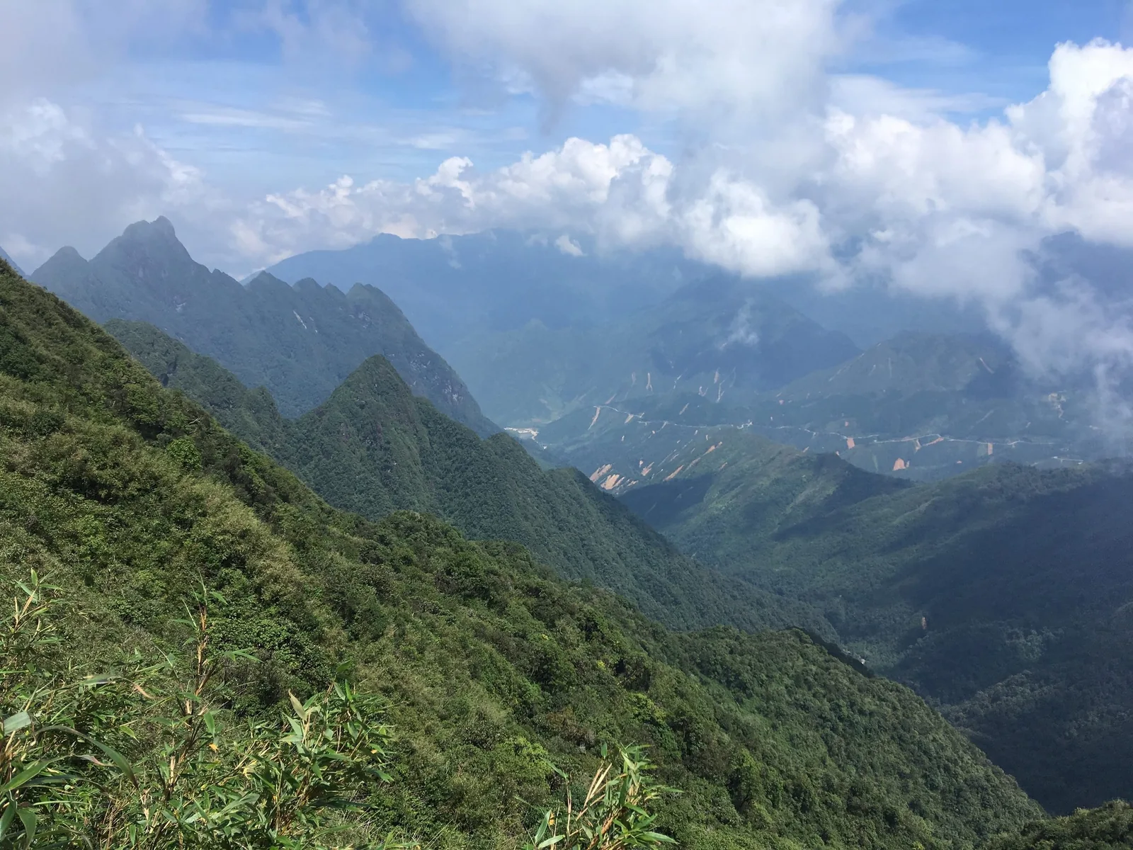
Trekking
Lai Chau's trekking peaks, compared
Three of Vietnam's 3,000 m summits are in or on the edge of Lai Chau. They are walks, not technical climbs, but long and steep ones, in forest that is wet much of the year. This page compares height, days, season and the rules that apply.
The peaks side by side
| Peak | Height | Where | Days | Our grade | Season | Permit or registration |
|---|---|---|---|---|---|---|
| Pu Ta Leng | 3,049 m | Ta Leng commune, about 20 km from the provincial centre | 2–3 | Hard | Oct–Apr; flowers Feb–Apr | No formal permit found; host declares stay; ranger declaration asked in 2026 |
| Bach Moc Luong Tu (Ky Quan San) | About 3,046 m | Lao Cai–Lai Chau border | 3 | Hard, exposed ridges | Oct–Apr | Lao Cai start: none reported (2015); Lai Chau start: permit reported (2015); park rules since 2026 |
| Pu Si Lung | About 3,076–3,083 m | Pa Ve Su (now Bum Nua commune), Muong Te, on the China border | 4 or more | Very hard, remote | Oct–Apr | Border Guard permit reported (2015) |
| Ta Lien Son | 2,996 m | Ta Leng commune | Not stated | Not assessed | Oct–Apr | As for Pu Ta Leng |
| Ngu Chi Son | 2,850 m | About 25 km from former Tam Duong town, near the pass | 1–2 | Hard, steep rock | Oct–Apr | Check locally |
“Our grade” is a planning label, not an official one: hard means long days of seven hours or more on steep ground with a camp above 2,000 m; very hard adds remoteness, several camps and border-zone formalities. None of these routes needs ropes in normal conditions.
Sources: Lai Chau provincial tourism portal — Putaleng peak; Lao Cai Newspaper — the Ky Quan San trek; Lai Chau provincial tourism portal — Pu Si Lung peak; Wikipedia — Pu Si Lung; VnExpress — Lai Chau travel handbook (2024); VietNamNet — tourist sites in Vietnam that need permits (2015); Tap chi Cong Thuong — the highest peaks of Tam Duong; Lao Cai Newspaper — Bat Xat National Park warning on unplanned climbs; Hoatieu — text of Resolution 1670/NQ-UBTVQH15 (new communes and their components) · last checked .
Pu Ta Leng
The closest to the provincial centre and the most climbed from the Lai Chau side. Routes start from Ho Thau, Si Thau Chai, Ta Leng and Giang Ma, all in the new Ta Leng commune. Accounts give three days and two nights as normal, with a first camp at about 2,400 m and a first day of eight to ten hours, and two days for strong walkers. Its rhododendron forest, from about 2,900 m, is the reason most people come between February and April.
Full details are on the Pu Ta Leng page.
Sources: Heritage magazine (Vietnam Airlines) — Putaleng; Viet Nam News — conquering Pu Ta Leng (2017); Tap chi Cong Thuong — the highest peaks of Tam Duong · last checked .
Bach Moc Luong Tu (Ky Quan San)
Bach Moc Luong Tu, also called Ky Quan San, stands at about 3,046 m on the border between Lao Cai and Lai Chau. A 2023 Lao Cai newspaper guide describes a three-day, two-night trek of nearly 30 km with seven to eight hours of walking a day. The more popular route starts from Ky Quan San (Sang Ma Sao) village on the Lao Cai side; the Lai Chau route starts at Sin Suoi Ho in Phong Tho.
The usual pattern is a long first day to camp, an early start on day two for sunrise on Nui Muoi (Salt Mountain), a summit push of four to five hours with light packs, and a descent on day three. The guide warns of narrow stone steps along exposed ridges that are unsuitable for people afraid of heights, and says the descent plan may need to change if it rains.
Permits: a 2015 report said climbers starting from Ky Quan San village needed no permit, while those starting from the Lai Chau side needed one, with a procedure similar to Pu Si Lung but simpler. That report is old. In 2026 Bat Xat National Park, which covers the Lao Cai approaches, asked that climbers of Ky Quan San be declared to forest rangers in advance and warned against unplanned climbs.
Sources: Lao Cai Newspaper — the Ky Quan San trek; VietNamNet — tourist sites in Vietnam that need permits (2015); Lao Cai Newspaper — Bat Xat National Park warning on unplanned climbs · last checked .
Pu Si Lung
Pu Si Lung is the highest summit in Lai Chau, listed at about 3,076 m by one source and 3,083 m by another, right on the Chinese border near border marker 42. The provincial portal describes at least three nights and four days from the Pa Ve Su border post to the summit and back, through about 100 km of forest track with passes, streams and log bridges. Pa Ve Su is now part of Bum Nua commune in Muong Te.
Because it is in the border zone, a 2015 report said climbers had to take their papers to the Lai Chau Border Guard headquarters in the provincial centre for a permit and then present it at the Pa Ve Su border post. We have not found a newer official description of the procedure; check with the border guard before planning. The UK Foreign Office also warns that border areas may be unmarked.
Sources: Wikipedia — Pu Si Lung; VnExpress — Lai Chau travel handbook (2024); Lai Chau provincial tourism portal — Pu Si Lung peak; VietNamNet — tourist sites in Vietnam that need permits (2015); Hoatieu — text of Resolution 1670/NQ-UBTVQH15 (new communes and their components); UK Foreign Office — Vietnam safety and security · last checked .
Smaller summits
Around the pass and Pu Ta Leng there are several lower peaks. A 2024 article names Ta Lien Son at 2,996 m in Ta Leng commune, and Ngu Chi Son (Five Fingers) at 2,850 m, about 25 km from the former Tam Duong town near the Hoang Lien pass, with a trail of more than 12 km over forest and rock that it describes as steep and dangerous. They see fewer climbers, which means fewer people on the trail if something goes wrong.
Sources: Tap chi Cong Thuong — the highest peaks of Tam Duong · last checked .
Risks to take seriously
- Weather. Cloud and rain can arrive within an hour above 2,000 m. Visibility on ridges drops to metres, and trails become slippery. Turn back on time rather than push for a summit in rain.
- Cold. Winter nights at camp approach freezing. Wet clothes plus wind is how people get into trouble.
- Landslides and streams. In the wet season, slopes give way and streams rise quickly. Access roads to trailheads can close.
- Getting lost. Routes are not marked to a standard that suits solo walking; mist hides the path.
- Rescue. There is no fast mountain rescue service. Evacuation is on foot and can take a day. Your insurance needs to cover trekking at altitude and medical evacuation.
- Altitude. At about 3,000 m serious altitude sickness is uncommon, but headaches and breathlessness are not; the UK Foreign Office lists altitude sickness as a risk in parts of Vietnam.
Sources: UK Foreign Office — Vietnam safety and security; UK Foreign Office — Vietnam health · last checked .
Guides and porters
Climb with a local guide. That is a safety statement, not a sales one: the routes are steep, forested and often in cloud, rules in forest areas were tightened in 2026, and the UK Foreign Office advises a reputable guide in mountain areas, noting that going without one is illegal in some places. Guides also handle registration with the commune or rangers. We do not name or recommend guides or companies.
Before you agree, ask: which route and camps, how many porters, what food and equipment is supplied, what happens if weather turns, who has a phone signal where, and whether the guide has done the route this season.
Sources: UK Foreign Office — Vietnam safety and security; Lao Cai Newspaper — Bat Xat National Park warning on unplanned climbs · last checked .
What to carry
- Passport (for registration) and a copy.
- Waterproof jacket and trousers, and a warm layer for the summit.
- Boots with grip on wet rock and roots; trekking poles for the descent.
- Head torch for pre-dawn summit starts.
- Water treatment and enough cash for porters, food and homestays; there are no ATMs on the mountain.
Common questions
Questions readers ask
Which Lai Chau peak is easiest for a first 3,000 m trek?
Pu Ta Leng, because it is close to the provincial centre and done in two or three days. It is still a hard, steep walk.
Can I climb these peaks in summer?
It is possible but not advisable. From May to September trails are wet, streams rise and views are rare. Most climbs run from October to April.
Do I need a permit for Pu Si Lung?
A 2015 report described a Border Guard permit collected in the provincial centre and presented at the Pa Ve Su border post. Check the current procedure with the border guard.
How fit do I need to be?
Able to walk seven to ten hours a day on steep ground with a light pack, two or three days in a row.
Related
Read next
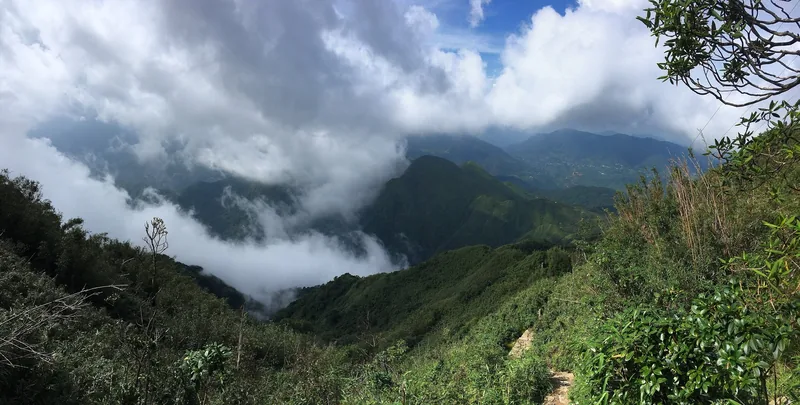
Destinations · Trekking
Pu Ta Leng
Pu Ta Leng trek: routes from Ta Leng commune, days, season, rules, costs and risks.
Read more
Practical rules
Permits and registration
Border-area rules, temporary residence declarations and forest rules that apply to visitors in Lai Chau.
Read more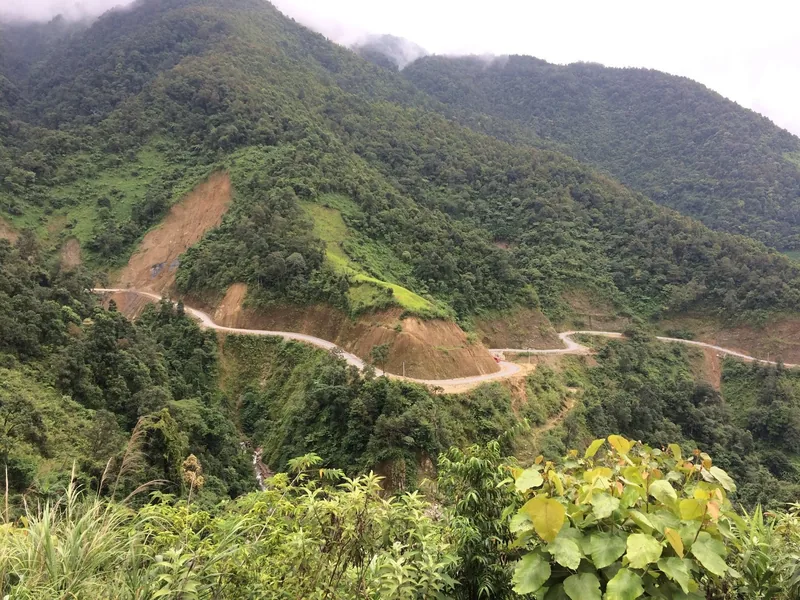
Safety
Road safety and weather
Landslides, fog, night buses and motorbike rules on Lai Chau's mountain roads, with dated examples.
Read more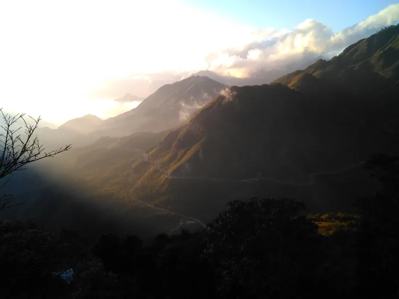
Seasons
When to go
Month-by-month guide to Lai Chau for road trips, treks, rhododendrons and the rice harvest.
Read more
Stays
Homestays
What a night in a Lai Chau village homestay is like: beds, meals, washing, money and manners.
Read more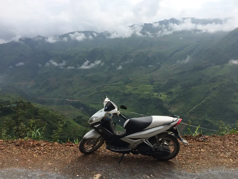
Planning
How many days
Suggested loops in Lai Chau from Sa Pa and Hanoi, with days, distances and where short trips fail.
Read more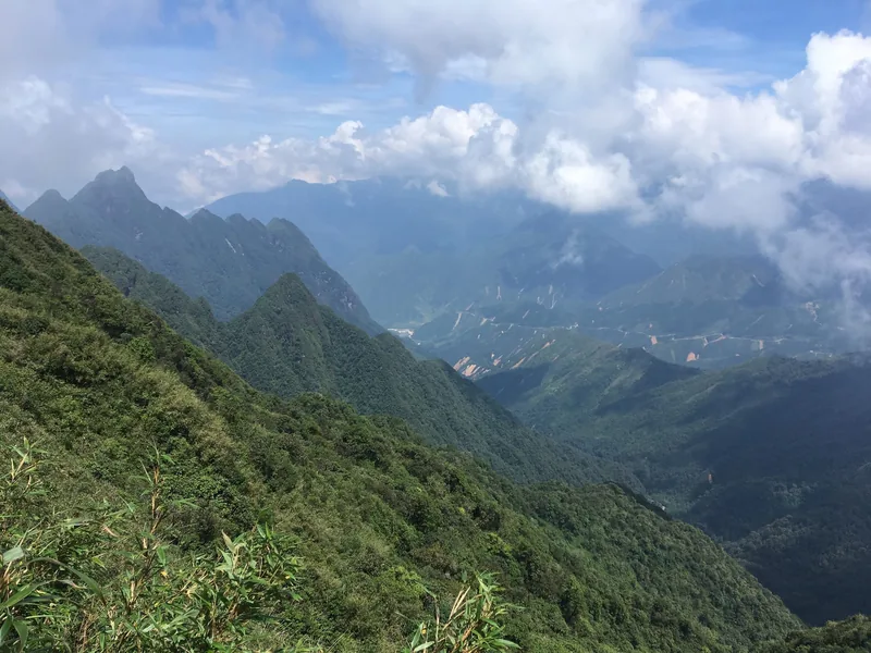
Start planning
Send a correction or a question
Tell us which page you mean, what you found on the road, the trail or an official site, and when. A link to the source helps us check it.