 Passes, peaks, terraces and villages of Lai Chau, in English
Destinations
Where to go in Lai Chau
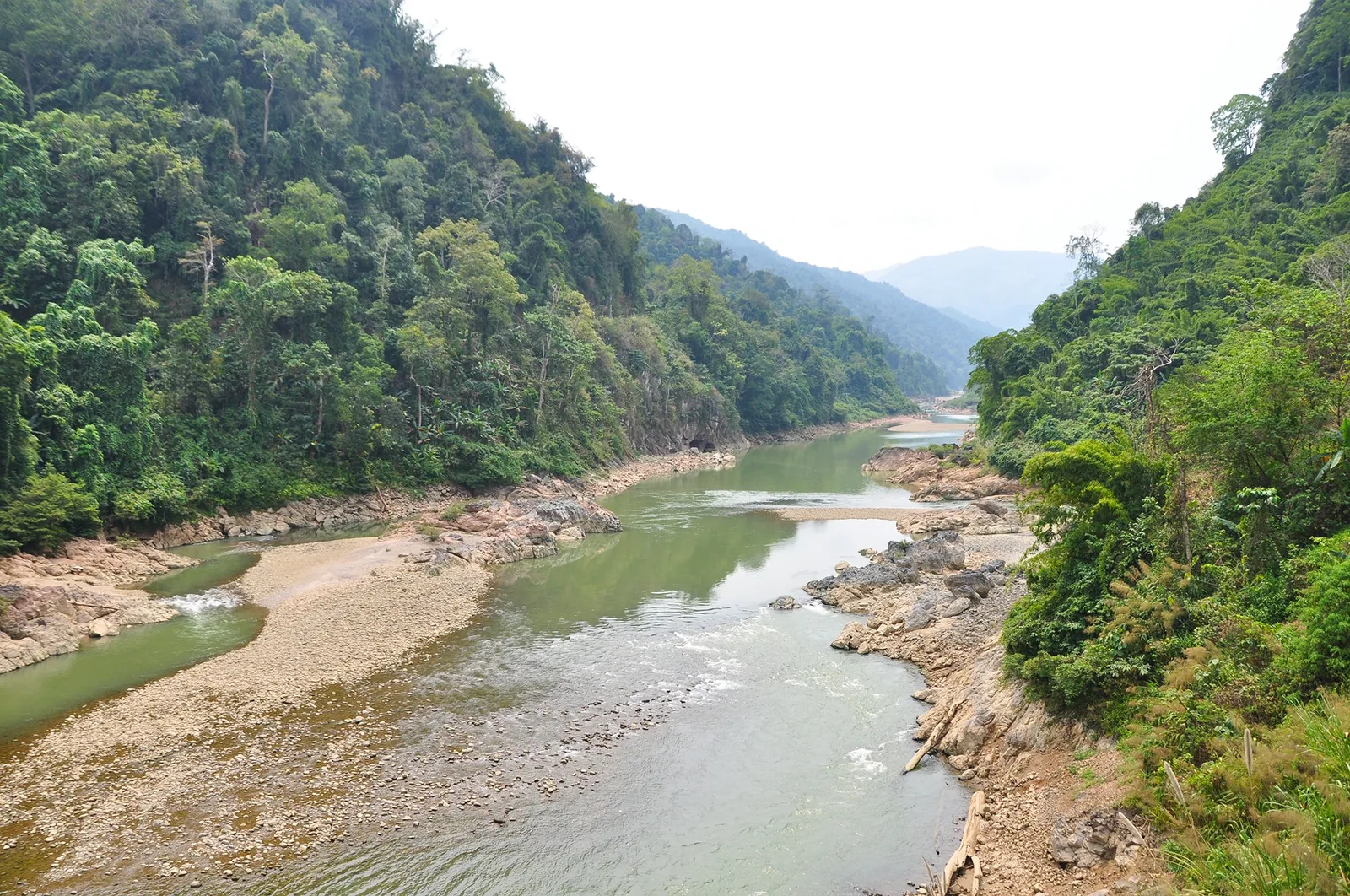
Four areas carry most trips to Lai Chau: the pass that connects it to Sa Pa, the Sin Ho plateau and the villages of Phong Tho, the Pu Ta Leng massif, and the valleys of Tan Uyen and Than Uyen. This page shows how they fit together.
Choose an area
Highway 4D · Binh Lu
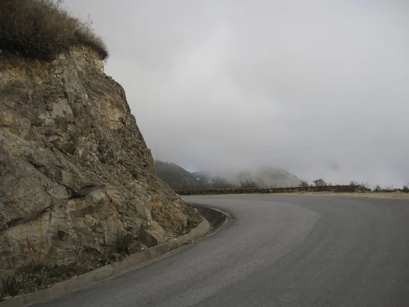
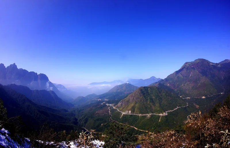
O Quy Ho pass
Nearly 50 km of switchbacks over the Hoang Lien range, with the Rong May glass bridge near the summit.
Read about the pass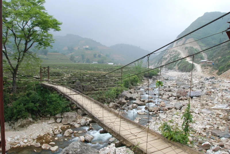
Sin Ho · Sin Suoi Ho · Vang Pheo
Sin Ho and Phong Tho
A cool plateau west of the provincial centre, and community-tourism villages to the north.
Read about Sin Ho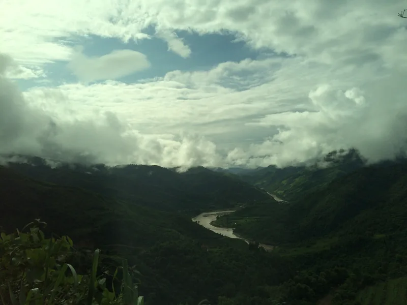
Ta Leng commune
Pu Ta Leng
A 3,049 m peak about 20 km from the provincial centre, climbed in two or three days.
Read about Pu Ta Leng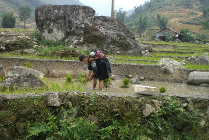
Tan Uyen · Than Uyen · Muong Than
Tan Uyen and Than Uyen
Tea hills along Highway 32 and Muong Than, one of the four great rice fields of the north-west.
Read about the valleysHow far apart they are
The provincial centre, which most buses still call Lai Chau, sits between all four areas and is the practical base. The distances below are approximate and come from the sources listed; road time depends heavily on weather and roadworks, so treat the hours as a planning estimate.
| From the provincial centre to | Distance | Road | Planning time |
|---|---|---|---|
| O Quy Ho pass summit | About 54 km | Highway 4D towards Sa Pa | 1.5–2 hours |
| Sa Pa town | About 70 km | Highway 4D over the pass | 2–2.5 hours |
| Sin Suoi Ho village | About 30 km | Road north into Phong Tho | About 1 hour |
| Sin Ho plateau | About 60 km | Mountain road west | About 2 hours by bus |
| Pu Ta Leng trailheads | About 20 km to the massif | Highway 4D, then local roads | Under 1 hour to the start |
| Tan Uyen and Than Uyen | Not stated by our sources | Highway 4D, then Highway 32 | Allow 1.5–3 hours |
Sources: Lao Cai Newspaper — the road from Lai Chau to Sa Pa; Vietnam National Authority of Tourism, ethnic tourism portal — Sin Suoi Ho award 2025; Viet Nam News — Sin Ho plateau (2026); Travelfish — getting to Sin Ho (independent guide); Lai Chau provincial tourism portal — Putaleng peak; Lai Chau provincial tourism portal — Tan Uyen tea hill · last checked .
Which area for which trip
Road-trippers usually start with the pass, because it is the gateway from Sa Pa, and then either go west to Sin Ho or south-east down Highway 32 through the tea and rice valleys. Both are loops that can be done in two to four days from Sa Pa. The how many days page sets them out.
Trekkers come for Pu Ta Leng, which is the easiest of Lai Chau's 3,000 m summits to reach, or for Bach Moc Luong Tu, which straddles the border with Lao Cai. Pu Si Lung, the highest, is a much longer trip in a border zone. The trekking peaks page compares them.
Rice and village travellers time their visit to the fields. Transplanting starts in May and the rice ripens in September and October, when Muong Than and the terraces of Ta Leng and Ta Mung turn yellow. The villages of Sin Suoi Ho and Si Thau Chai take guests year-round; see homestays and village stays.
Sources: Tien Phong — rice terraces of Lai Chau (2024); VnExpress — Lai Chau travel handbook (2024) · last checked .
Seasons by area
| Area | Good months | Difficult months | Why |
|---|---|---|---|
| O Quy Ho pass | October–April for views | June–August | Summer rain and landslides on Highway 4D; winter fog on the Sa Pa side |
| Sin Ho plateau | Most of the year | Heavy-rain spells | Cool at about 18°C on average; road can close after rain |
| Pu Ta Leng | October–April; rhododendrons February–April | May–September | Wet trails, leeches, cloud on the summit |
| Tan Uyen and Than Uyen | May (water) and September–October (harvest) | Mid-winter and mid-summer | Fields are bare or green between the two moments |
Sources: Lai Chau provincial tourism portal — O Quy Ho pass; Viet Nam News — Sin Ho plateau (2026); Lai Chau provincial tourism portal — Putaleng peak; Heritage magazine (Vietnam Airlines) — Putaleng; Tien Phong — rice terraces of Lai Chau (2024); VnExpress — Lai Chau travel handbook (2024) · last checked .
Places beyond these four
Lai Chau also includes Muong Te and the far west along the Chinese border, Nam Nhun and the reservoirs of the Da River. They are remote, have few places to stay, and much of the border strip is subject to border-area rules. We cover Muong Te only as the approach to Pu Si Lung, on the trekking page. If you plan to travel there, read permits and registration first.
We also leave out Sa Pa itself, which belongs to Lao Cai province. It appears on these pages as a starting point, because most visitors to Lai Chau pass through it.
What these pages cover
Each destination page answers the same questions: what the place is really like, how many nights it needs, when to go, how to get there, what it costs at the points we can source, what to look out for, and when to leave it out of a trip. They do not list hotels, restaurants or tour companies.
Common questions
Questions readers ask
Which area should I choose for a short trip?
With two days from Sa Pa, the pass plus one village such as Sin Suoi Ho. With four days, add either Sin Ho or the Tan Uyen and Than Uyen valleys, not both.
Where should I stay as a base?
The provincial centre, the former Lai Chau city, has the widest choice and the bus station. Villages offer homestays if you want to stay closer to a trail or a field.
Are the destinations in Lai Chau busy?
The pass and the glass bridge can be busy at weekends and holidays. Villages and the plateau are quieter, and trails see groups mainly in the rhododendron season.
Related
Read next
Destinations · Highway 4D
O Quy Ho pass
Highway 4D over the Hoang Lien range: distances, weather, the glass bridge and road safety.
Read more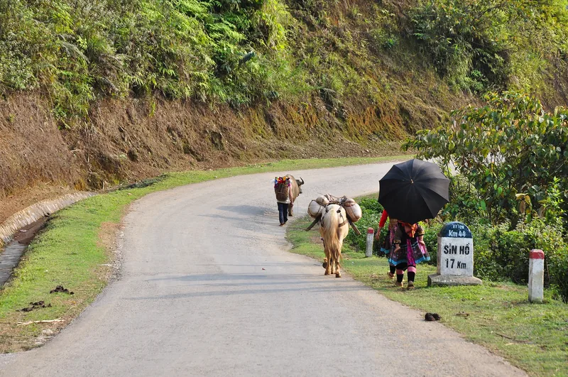
Destinations · Sin Ho · Phong Tho
Sin Ho and Phong Tho
The Sin Ho plateau and the Phong Tho villages: altitude, markets, homestays, roads and seasons.
Read more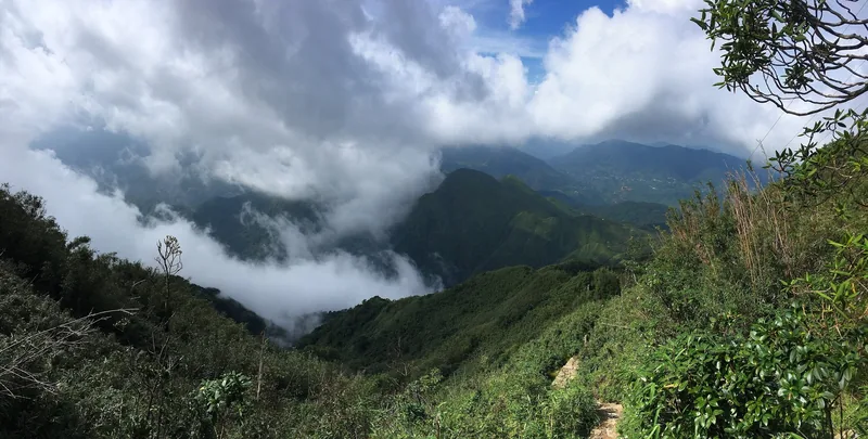
Destinations · Trekking
Pu Ta Leng
Pu Ta Leng trek: routes from Ta Leng commune, days, season, rules, costs and risks.
Read more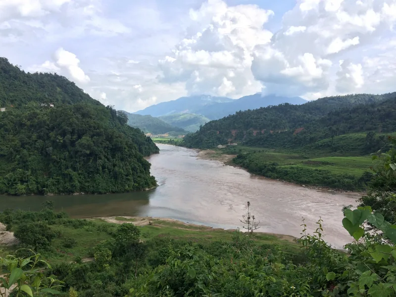
Destinations · Rice and tea
Tan Uyen and Than Uyen
Tan Uyen tea hills and the Muong Than rice field: harvest timing, terraces, roads and when to skip them.
Read more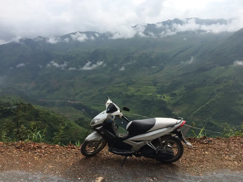
Planning
How many days
Suggested loops in Lai Chau from Sa Pa and Hanoi, with days, distances and where short trips fail.
Read more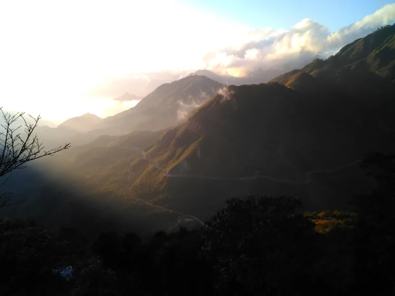
Seasons
When to go
Month-by-month guide to Lai Chau for road trips, treks, rhododendrons and the rice harvest.
Read more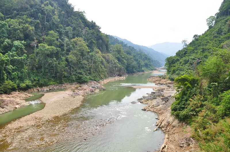
Start planning
Send a correction or a question
Tell us which page you mean, what you found on the road, the trail or an official site, and when. A link to the source helps us check it.