 Passes, peaks, terraces and villages of Lai Chau, in English

Independent guide · North-west Vietnam
Lai Chau, beyond the pass from Sa Pa
Lai Chau is the province on the far side of O Quy Ho pass: high peaks above 3,000 m, a plateau at 1,500 m, the rice bowl of Muong Than and villages that take overnight guests. This guide is written for people who arrive by road or on foot, and it dates every fact that can change.
Three ways into this guide
Most people who look up Lai Chau already know one of three things: they want to drive or ride a road, they want to climb a peak, or they want to see the rice fields at a particular moment of the year. The site is built around those three starting points, and around the practical questions that sit underneath them: how to get there, how long to stay, what the weather is doing, and where you will sleep.
Where to go
The O Quy Ho pass and the glass bridge, the Sin Ho plateau and the Phong Tho villages, Pu Ta Leng, and the valleys of Tan Uyen and Than Uyen. See all destinations.
Trekking peaks
Pu Ta Leng, Bach Moc Luong Tu (Ky Quan San), Pu Si Lung and smaller summits: height, days, season and the rules that apply. Compare the peaks.
When to go
Rhododendrons in early spring, water in the terraces in May, ripe rice in September and October, and a rainy summer that closes roads. See the month chart.
Getting there
From Hanoi by expressway and Highway 4D, from Sa Pa over the pass, and what the buses actually take. Read the route page.
Road safety and weather
Landslides, fog on the pass, night buses and riding a motorbike in the mountains, with what official advice says. Read the safety page.
Homestays and village stays
What a night in a Hmong or Dao village is like: beds, meals, washing, money and manners. Read what to expect.
Lai Chau in a few lines
Sources: Thu Vien Phap Luat — Lai Chau after Resolution 202/2025/QH15; Hoatieu — text of Resolution 1670/NQ-UBTVQH15 (new communes and their components); redBus Vietnam — Hanoi to Lai Chau route page (booking platform); VnExpress — Lai Chau travel handbook (2024); Lao Cai Newspaper — the road from Lai Chau to Sa Pa; Lai Chau provincial tourism portal — Putaleng peak; Wikipedia — Pu Si Lung · last checked .
A note on names after 2025
Lai Chau kept its borders in Vietnam's 2025 provincial reorganisation; it was not merged with a neighbour. What changed was the level below. Districts were removed as a tier of local government, and under Resolution 1670/NQ-UBTVQH15 of 16 June 2025 the province now has 38 commune-level units, 36 communes and 2 wards, which began operating on 1 July 2025.
For travellers this matters mostly on signs and maps. Older guides talk about Tam Duong, Phong Tho, Sin Ho, Tan Uyen and Than Uyen districts. Those names survive as communes, but the areas are different: the new Ta Leng commune, for example, joins the old communes of Giang Ma, Ho Thau and Ta Leng, which together hold the trailheads for Pu Ta Leng. We use the place names you will see on the ground and mention the former district where it helps.
Sources: Thu Vien Phap Luat — Lai Chau after Resolution 202/2025/QH15; Vietnam News Agency (VietnamPlus) — 38 commune-level units of Lai Chau, Resolution 1670/NQ-UBTVQH15; Hoatieu — text of Resolution 1670/NQ-UBTVQH15 (new communes and their components) · last checked .
What this guide does and does not do
Each page is built around the facts that decide a trip: distances, heights, days on the trail, months, permit and registration rules, and the price ranges that official or press sources publish. Under every block of that kind there is a source line and the date we last checked it. Where sources disagree, as they do on the height of the O Quy Ho summit, we show the range rather than picking one.
The guide does not sell tours, treks, transport or tickets, and it takes no bookings. It does not name or rate tour companies, guides, hotels or homestays. When a page says that a local guide is needed, that is because the terrain, the weather or the rules make it so, not because we earn anything from it.
Advertising spaces on the site are labelled “Advertisement” and kept apart from the editorial text. The about page explains how facts are checked and how to send a correction.
If you only read one page
Read how many days and suggested loops. It turns the rest of the site into a plan: two days for the pass and a village from Sa Pa, four for a loop through Sin Ho or the rice valleys, and longer if you add a peak. It also says where a short trip goes wrong, which is usually on the road in the rain.
If your trip falls between June and August, read the road safety and weather page next. Highway 4D over the pass was blocked by landslides in July 2025 and again in May 2026, and summer plans need slack days.
Who this guide is not for
- Travellers who want a company to book with. We do not sell or recommend any.
- Readers looking for Vietnamese-language content; this guide is in English only.
- People planning a mountaineering expedition with technical climbing. The peaks covered here are long, steep walks, not rope climbs.
- Anyone who needs real-time road status. Pages carry the date they were checked, and conditions on Highway 4D can change within hours.
Common questions
Questions readers ask
Is this an official government site?
No. It is an independent guide in English. It links to the Lai Chau provincial tourism portal and other official sources so you can check each fact yourself.
Is Lai Chau the same as Lai Chau city?
No. Lai Chau is the province. Its former capital, Lai Chau city, became the two wards of Tan Phong and Doan Ket on 1 July 2025, and most buses still show the destination as Lai Chau.
Can I visit Lai Chau as a day trip from Sa Pa?
You can cross O Quy Ho pass and come back in a day; the summit is about 15 km from Sa Pa. Villages, the plateau and the peaks need at least one night in the province.
Can you book a trek or a homestay for me?
No. The guide does not sell anything, take bookings or name businesses.
Related
Read next
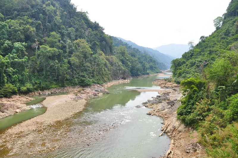
Destinations
Destinations
The main areas of Lai Chau, how far apart they are, and which season suits each.
Read more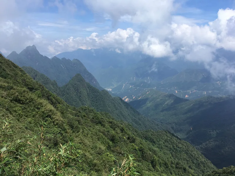
Trekking
Trekking peaks
Pu Ta Leng, Bach Moc Luong Tu and Pu Si Lung compared: height, days, grade, season and permits.
Read more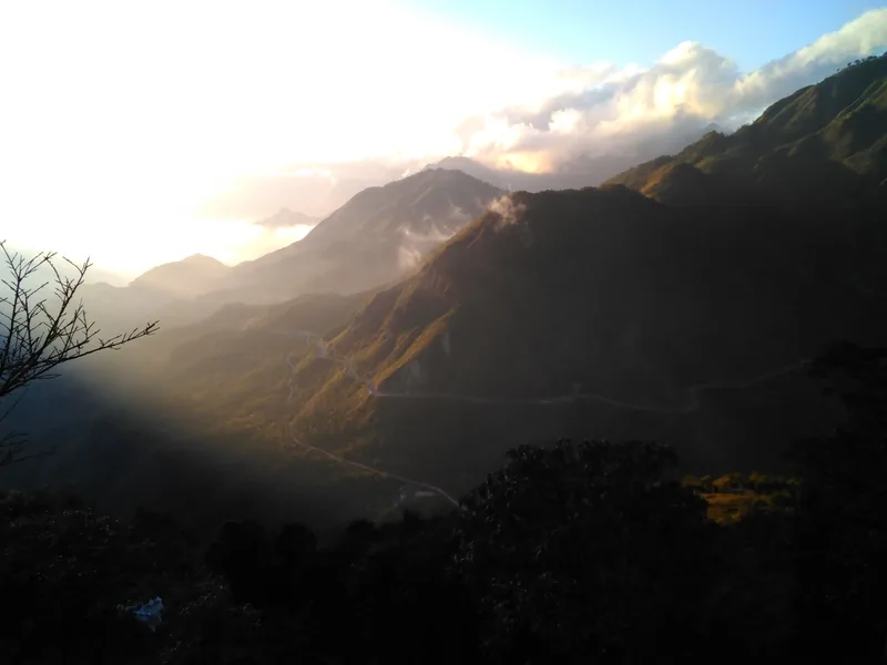
Seasons
When to go
Month-by-month guide to Lai Chau for road trips, treks, rhododendrons and the rice harvest.
Read more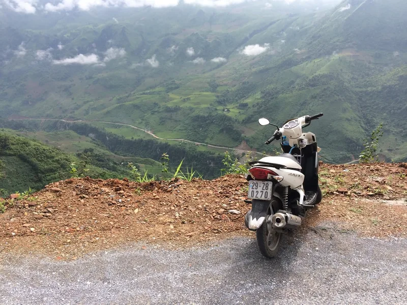
Getting there
Getting there
Coaches and roads from Hanoi and Sa Pa to Lai Chau, with distances, journey times and fares.
Read more
Planning
How many days
Suggested loops in Lai Chau from Sa Pa and Hanoi, with days, distances and where short trips fail.
Read more
Stays
Homestays
What a night in a Lai Chau village homestay is like: beds, meals, washing, money and manners.
Read more
Start planning
Send a correction or a question
Tell us which page you mean, what you found on the road, the trail or an official site, and when. A link to the source helps us check it.