 Passes, peaks, terraces and villages of Lai Chau, in English
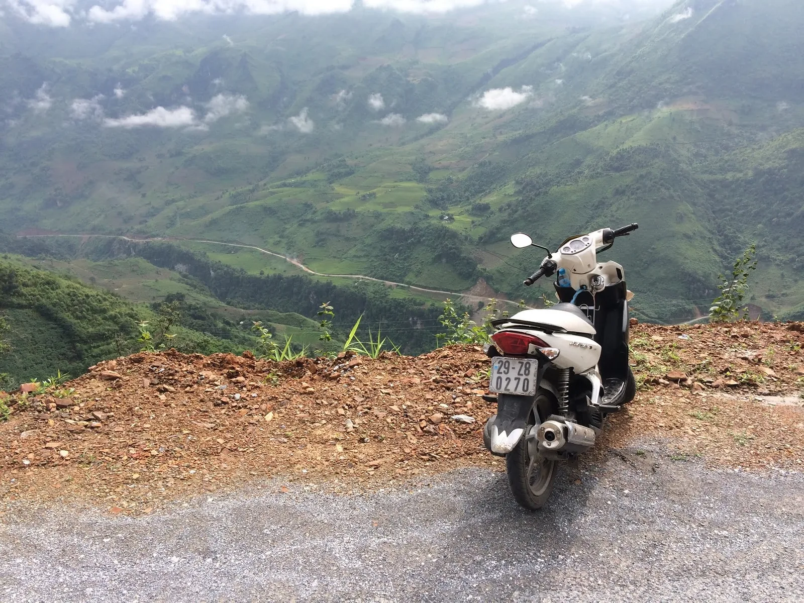
Getting there
Getting to Lai Chau from Hanoi and Sa Pa
There is no airport in Lai Chau and no railway. Everyone arrives by road, usually up the Noi Bai–Lao Cai expressway and over the O Quy Ho pass on Highway 4D. This page sets out the routes, the coaches and the times you should plan for.
Routes at a glance
| From | Route | Distance | Time | Fare range |
|---|---|---|---|---|
| Hanoi | Noi Bai–Lao Cai expressway, then Highway 4D over O Quy Ho | About 389–420 km | About 7.5–10 hours by coach | VND 250,000–400,000 |
| Sa Pa | Highway 4D over O Quy Ho | About 70 km | About 2–2.5 hours | Not sourced; ask locally |
| Dien Bien (nearest airport) | Mountain roads north | About 190 km | About 4 hours | Not sourced |
| Sin Ho | Provincial road to the provincial centre | About 60 km | About 2 hours by bus | About VND 50,000 |
Times are what sources report under normal conditions. Add time for rain, roadworks and stops, and more in the summer months.
Sources: redBus Vietnam — Hanoi to Lai Chau route page (booking platform); VnExpress — Lai Chau travel handbook (2024); Lao Cai Newspaper — the road from Lai Chau to Sa Pa; Travelfish — getting to Sin Ho (independent guide); Viet Nam News — Sin Ho plateau (2026) · last checked .
From Hanoi
Coaches to Lai Chau leave Hanoi from My Dinh and Giap Bat bus stations; route listings also show pick-ups at Soc Son and near Noi Bai airport. They take the Noi Bai–Lao Cai expressway, which opened in 2014 at 245 km, and then Highway 4D from Lao Cai over the pass. One booking platform gives the distance as about 389 km; a 2024 press handbook says about 420 km and about eight hours. The same platform shows both 7 hours 35 minutes and 9 to 10 hours, which is a fair picture of the spread.
Bus types include seated coaches, sleeper buses and single-cabin sleepers, with fares from about VND 250,000 to 400,000 depending on the bus. Night departures arrive in the early morning. The UK Foreign Office notes that bus and coach crashes are more likely at night, which is worth weighing against the saved hotel night.
Coaches stop at the provincial bus station and also list Tam Duong, Tan Uyen and Than Uyen as drop-off points, which is useful if you are heading straight for the rice valleys or the Pu Ta Leng trailheads. We do not name bus companies; compare departure times and bus types on the day.
Sources: redBus Vietnam — Hanoi to Lai Chau route page (booking platform); VnExpress — Lai Chau travel handbook (2024); Tuoi Tre News — Noi Bai–Lao Cai expressway opens (2014); UK Foreign Office — Vietnam safety and security · last checked .
From Sa Pa
From Sa Pa it is about 70 km to the provincial centre on Highway 4D. The summit of O Quy Ho is about 15 km from Sa Pa and about 54 km from the provincial centre, so most of the descent is on the Lai Chau side. Hanoi–Lai Chau coaches pass through, and local buses, minibuses and private cars run the route. Allow two to two and a half hours without stops.
Many travellers hire a car with driver or ride a motorbike so they can stop at the pass, the glass bridge and Tien Son cave. See the O Quy Ho page for the stops.
Sources: Lao Cai Newspaper — the road from Lai Chau to Sa Pa · last checked .
By air
Lai Chau has no airport. The nearest is Dien Bien, about 190 km and four hours away by road, according to a 2024 handbook. Most visitors fly into Noi Bai, Hanoi, and go by road. A Lai Chau airport was proposed in 2022 and supported by the transport ministry at that stage, and an airport near Sa Pa held a groundbreaking in 2022 but had seen little construction by early 2026. Neither should figure in plans for now.
Sources: VnExpress — Lai Chau travel handbook (2024); The Investor — Lai Chau airport proposal (2022); Wikipedia — Sapa Airport · last checked .
Driving or riding yourself
Self-drive is common on the Hanoi–Sa Pa–Lai Chau loop. You need the 1968 international driving permit with your licence and third-party insurance, according to the UK Foreign Office. On the expressway, motorbikes are not allowed, so riders use the old national roads, which adds hours. Highway 4D over the pass is narrow and steep with heavy traffic; ride it in daylight. The road safety page has more.
Sources: UK Foreign Office — Vietnam safety and security · last checked .
Getting around inside Lai Chau
Local buses link the provincial centre with Sin Ho, Phong Tho, Tan Uyen and Than Uyen, but times are irregular and can be disrupted by landslides. For villages and trailheads, motorbike taxis and cars with drivers arranged through your accommodation are the usual answer. Distances are short on the map and long on the road: 30 km to Sin Suoi Ho takes about an hour.
Sources: Travelfish — getting to Sin Ho (independent guide); Vietnam National Authority of Tourism, ethnic tourism portal — Sin Suoi Ho award 2025 · last checked .
Tickets, luggage and arrival
Coach tickets for the Hanoi route can be bought at the bus stations, through accommodation or on booking platforms; sleeper buses fill first on Friday nights, before holidays and at harvest weekends. Ask whether the fare includes pick-up in the Old Quarter, since some services collect passengers in town and others leave only from the station. Large rucksacks go in the luggage hold; keep passport, money and a warm layer with you, because the bus is cold at night and stops are short.
Arriving in the early morning, the provincial bus station is a short taxi ride from most hotels in the Tan Phong and Doan Ket area. Trekkers bound for Ta Leng commune can ask to be dropped at Tam Duong, which coaches list as a stop, and arrange to be met there.
Sources: redBus Vietnam — Hanoi to Lai Chau route page (booking platform) · last checked .
Leaving Lai Chau
Three exits make loops possible. Back over the pass to Sa Pa and Lao Cai. South-east on Highway 32 through Tan Uyen and Than Uyen towards Mu Cang Chai and Yen Bai. Or west and south towards Dien Bien. The how many days page joins these into suggested routes.
Common questions
Questions readers ask
How long is the bus from Hanoi to Lai Chau?
Sources give about 7.5 to 10 hours. Plan on the longer figure, especially in the rainy season.
Is there a train to Lai Chau?
No. The railway from Hanoi goes to Lao Cai; from there it is a road journey over the pass.
How far is Lai Chau from Sa Pa?
About 70 km on Highway 4D, about two to two and a half hours by car.
What is the nearest airport to Lai Chau?
Dien Bien, about 190 km away. Most visitors fly into Hanoi and go by road.
Related
Read next
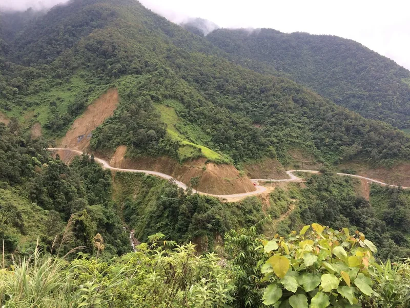
Safety
Road safety and weather
Landslides, fog, night buses and motorbike rules on Lai Chau's mountain roads, with dated examples.
Read more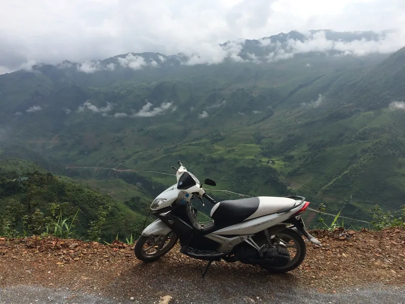
Planning
How many days
Suggested loops in Lai Chau from Sa Pa and Hanoi, with days, distances and where short trips fail.
Read more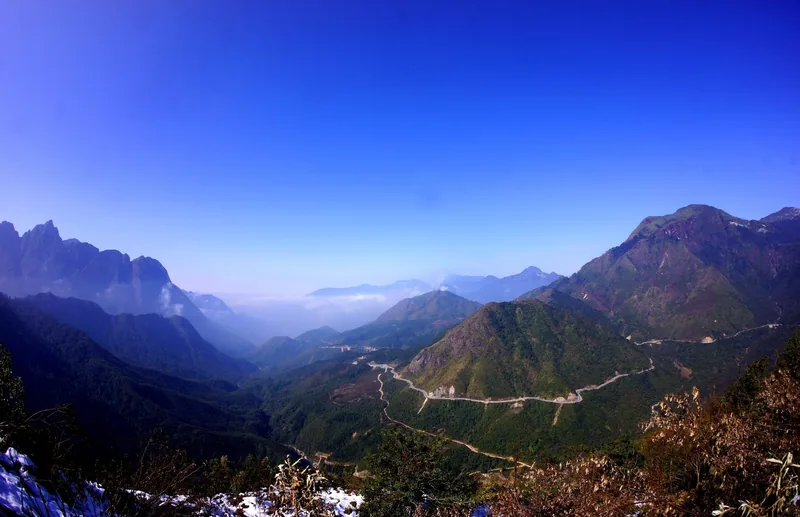
Destinations · Highway 4D
O Quy Ho pass
Highway 4D over the Hoang Lien range: distances, weather, the glass bridge and road safety.
Read more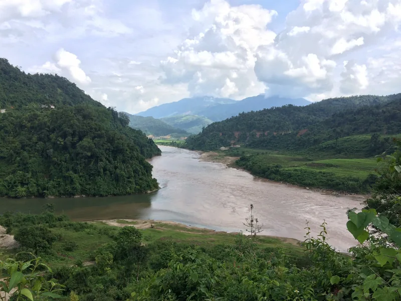
Destinations · Rice and tea
Tan Uyen and Than Uyen
Tan Uyen tea hills and the Muong Than rice field: harvest timing, terraces, roads and when to skip them.
Read more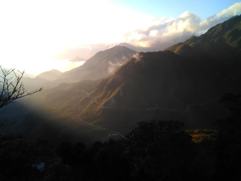
Seasons
When to go
Month-by-month guide to Lai Chau for road trips, treks, rhododendrons and the rice harvest.
Read more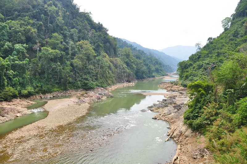
Destinations
Destinations
The main areas of Lai Chau, how far apart they are, and which season suits each.
Read more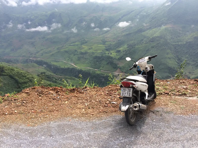
Start planning
Send a correction or a question
Tell us which page you mean, what you found on the road, the trail or an official site, and when. A link to the source helps us check it.