 Passes, peaks, terraces and villages of Lai Chau, in English
Destinations · Highway 4D
O Quy Ho pass and the Rong May glass bridge
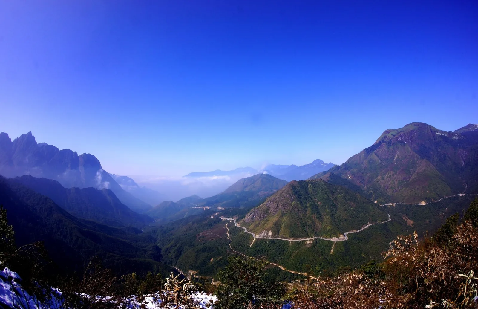
Nearly 50 km of road over the Hoang Lien range links Sa Pa with Lai Chau. Most of it is on the Lai Chau side, and the summit is often in cloud. This page covers the road, the glass bridge, the stops on the way and the weather that decides whether you see anything.
At a glance
- Length
- Nearly 50 km
- Highest point
- Above 2,000 m; sources give 2,200–2,350 m
- Road
- National Highway 4D
- From Sa Pa
- About 15 km to the summit
- From Lai Chau centre
- About 54 km to the summit
- Entry
- Free; glass bridge ticketed
Sources: Lai Chau provincial tourism portal — O Quy Ho pass; Lao Cai Newspaper — the road from Lai Chau to Sa Pa; VnExpress — Lai Chau travel handbook (2024); DTiNews — glass bridge opens near Sa Pa (2019) · last checked .
What the pass actually is
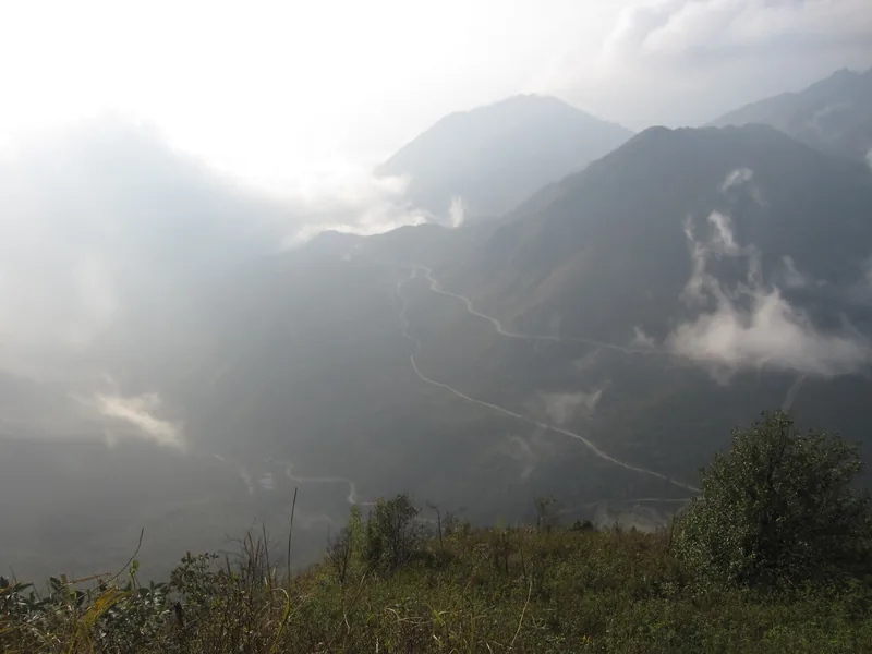
O Quy Ho is the stretch of National Highway 4D that crosses the Hoang Lien Son range between Sa Pa in Lao Cai and the old district of Tam Duong in Lai Chau. The provincial tourism portal gives its length as nearly 50 km, which makes it the longest pass in the north-western mountains, and puts about two-thirds of it on the Lai Chau side. Locals also call it Hoang Lien pass or May pass, the second meaning cloud, because the summit is covered much of the year.
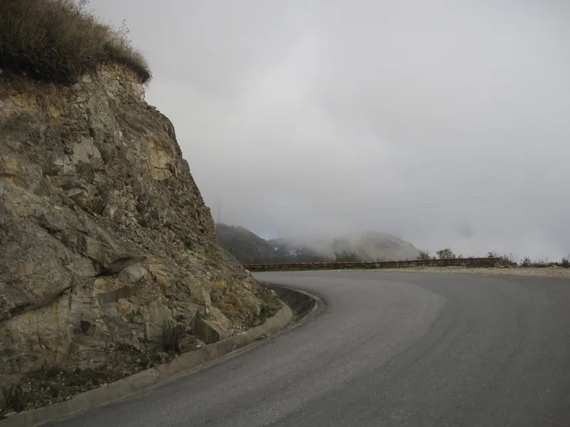
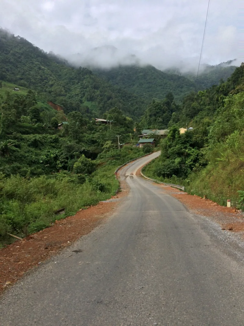
It is a working road, not a scenic drive built for visitors. Trucks, sleeper buses and motorbikes share it, and on the Lai Chau side the road descends in long switchbacks with drops on the outer edge. Since 2025 the stretch near the summit on the Lai Chau side lies in Binh Lu commune, which absorbed the old communes of Son Binh and Binh Lu and the former Tam Duong town.
The two slopes feel like different countries. The portal describes the Lai Chau side as warm and dry and the Sa Pa side as cool and humid. In winter Sa Pa can sit in cold fog while Tam Duong is mild; in winter, too, there is an occasional chance of frost or snow at the summit. In midsummer it is often the other way round: clear on the Lai Chau side, foggy towards Lao Cai.
Sources: Lai Chau provincial tourism portal — O Quy Ho pass; Vietnam National Authority of Tourism — O Quy Ho pass; VnExpress — Lai Chau travel handbook (2024); Hoatieu — text of Resolution 1670/NQ-UBTVQH15 (new communes and their components) · last checked .
The Rong May glass bridge
Near the summit, a cliff-side attraction opened in 2019 with a glass-floored walkway jutting out from the rock and a glass elevator to reach it. Reports at the opening gave the walkway as 60 m long and 5 m wide, at about 2,200 m above sea level, with an elevator rising 300 m. A 2025 airline guide puts the bridge at about 2,330 m and places it in the former Son Binh commune, about 20 km from Sa Pa.
| Item | What sources report | Note |
|---|---|---|
| Adult ticket | VND 400,000 (2019) to VND 500,000 (2025) | Includes the elevator; other activities extra |
| Child ticket | VND 200,000 (2019) to VND 300,000 (2025) | Check age and height rules on the day |
| Opening hours | 07:30–18:00 daily (2025 report) | May close in storms or high wind |
| Distance from Sa Pa | About 17–20 km | On Highway 4D |
Treat the prices as a range and confirm before you travel; they come from press and an airline guide, not from an official tariff. If the summit is in cloud, the view from the glass is white, and nothing in the ticket covers that. Look at a webcam or ask at your accommodation in the morning before driving up.
Sources: DTiNews — glass bridge opens near Sa Pa (2019); Vietjet Air travel guide — Rong May glass bridge (airline guide, 2025) · last checked .
Stops along the road
Going from the provincial centre towards Sa Pa, a Lao Cai newspaper sets out the road like this. At Km 29, beside the highway in Binh Lu, is Tien Son cave, discovered in 1979 and listed as a national scenic site in 1992. The summit of the pass is at about Km 54. On the far side, at the foot of the climb in Lao Cai, Thac Bac (Silver Waterfall) is about 12 km from the centre of Sa Pa, with trout farms in the valley around it.
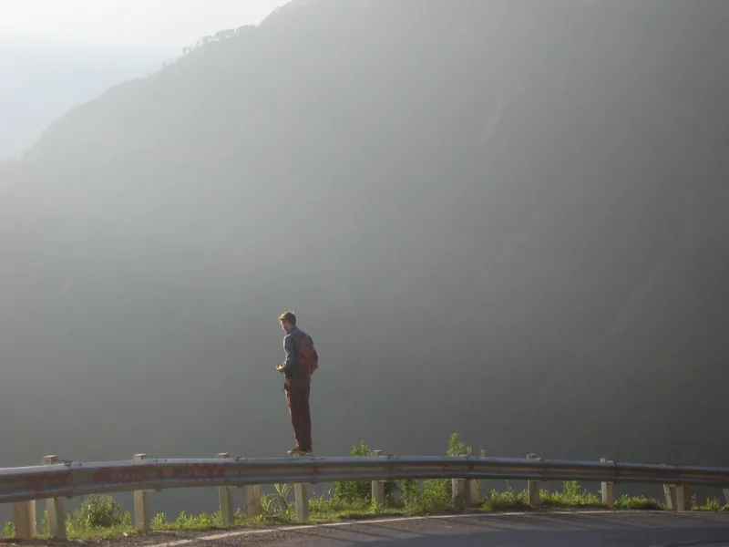
There are viewpoints and roadside stalls on both slopes, especially near the summit. Pull fully off the carriageway to stop; on many bends there is no shoulder at all, and buses take the inside line.
Sources: Lao Cai Newspaper — the road from Lai Chau to Sa Pa · last checked .
How long to give it
Driving straight across takes about two to two and a half hours from Sa Pa to the provincial centre, including the climb, the descent and a short stop. With the glass bridge and Tien Son cave, plan a half day. If you want to see the view and the forecast is mixed, stay one night on either side and cross on the clearest morning.
A day trip from Sa Pa that only goes to the summit and back is common; it is about 15 km each way. It is also the trip most often spoiled by cloud, because there is no second chance the same day.
When to go
For views, October to April is the safer window. The provincial portal's description of cloud “all year round” is close to the truth at the summit, but dry-season mornings give the most reliable odds. Winter brings cold on the Sa Pa side and the occasional frost. From June to August heavy rain is the main risk, and landslides block Highway 4D in most years.
In July 2025, after prolonged rain, slides hit Highway 4D at Km 91+500 on the Lao Cai side and at the O Quy Ho eco-tourism area in Binh Lu commune, affecting traffic and some bungalows. In May 2026 a boulder of several tonnes closed the road near Ta Phin on the Sa Pa side from about 02:15 until about 09:30. Neither event caused long closures, but both show that summer crossings need spare time.
Sources: Lai Chau provincial tourism portal — O Quy Ho pass; Vietnam National Authority of Tourism — O Quy Ho pass; Lao Cai Newspaper — landslides on Highway 4D, 11 July 2025; DTiNews — boulder blocks Highway 4D, 4 May 2026 · last checked .
Getting there
From Sa Pa the pass starts almost at the edge of town. From Hanoi, coaches to Lai Chau use the Noi Bai–Lao Cai expressway and then Highway 4D, so they cross the pass anyway; the full journey is about 390–420 km and 8 to 10 hours. From the provincial centre, follow Highway 4D towards Sa Pa. Details, including fares, are on the getting there page.
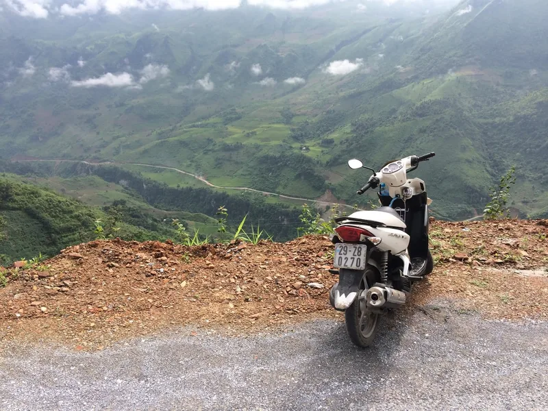
On two wheels, this is a pass to ride in daylight and dry weather only. The road safety page covers licences, insurance and what to do when fog closes in.
Sources: redBus Vietnam — Hanoi to Lai Chau route page (booking platform); VnExpress — Lai Chau travel handbook (2024) · last checked .
Costs we can source
| Item | Range | Note |
|---|---|---|
| Crossing the pass | Free | Provincial portal |
| Glass bridge and elevator, adult | VND 400,000–500,000 | 2019 and 2025 reports; check before you go |
| Coach Hanoi–Lai Chau | VND 250,000–400,000 | Depends on bus type; crosses the pass |
| Hotel in the provincial centre | VND 200,000–1,200,000 a night | 2024 press figures; varies by standard |
Fuel, food and parking at viewpoints vary and we do not publish figures for them. Check before you go.
Sources: Lai Chau provincial tourism portal — O Quy Ho pass; DTiNews — glass bridge opens near Sa Pa (2019); Vietjet Air travel guide — Rong May glass bridge (airline guide, 2025); redBus Vietnam — Hanoi to Lai Chau route page (booking platform); VnExpress — Lai Chau travel handbook (2024) · last checked .
Pictures
Who should skip this, and when not to go
- Anyone who gets car-sick on long mountain descents: the Lai Chau side is a long series of hairpins.
- Riders without a valid licence and insurance, or without experience on wet mountain roads.
- Travellers on a fixed one-day schedule in June to August, when a slide can hold traffic for hours.
- People who are uneasy with heights should think twice about the glass bridge; the elevator and walkway are open to the drop.
- On a day of thick cloud, a trip only for the view: you will see the road and little else.
Related pages
- Getting to Lai Chau from Sa Pa and Hanoi
- Road safety and weather
- Pu Ta Leng, whose trailheads are just off Highway 4D
- How many days and suggested loops
Common questions
Questions readers ask
How long does it take to cross O Quy Ho pass?
About two to two and a half hours from Sa Pa to the provincial centre by car, more with stops. The summit is about 15 km from Sa Pa and about 54 km from the provincial centre.
Is the O Quy Ho pass dangerous?
It is a steep working road with heavy vehicles and sharp bends, and it is exposed to fog and landslides in the rainy season. In dry daylight with a careful driver it is a normal mountain road.
How much is the Rong May glass bridge?
Reports give VND 400,000 for an adult in 2019 and VND 500,000 in 2025, with the elevator included. Confirm the current price at the gate.
Can I see the view in winter?
Sometimes. Winter mornings can be clear above the cloud, but the Sa Pa side is often foggy and cold. Leave a spare morning if the view matters.
Related
Read next
Getting there
Getting there
Coaches and roads from Hanoi and Sa Pa to Lai Chau, with distances, journey times and fares.
Read more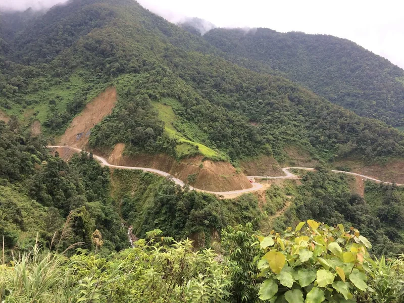
Safety
Road safety and weather
Landslides, fog, night buses and motorbike rules on Lai Chau's mountain roads, with dated examples.
Read more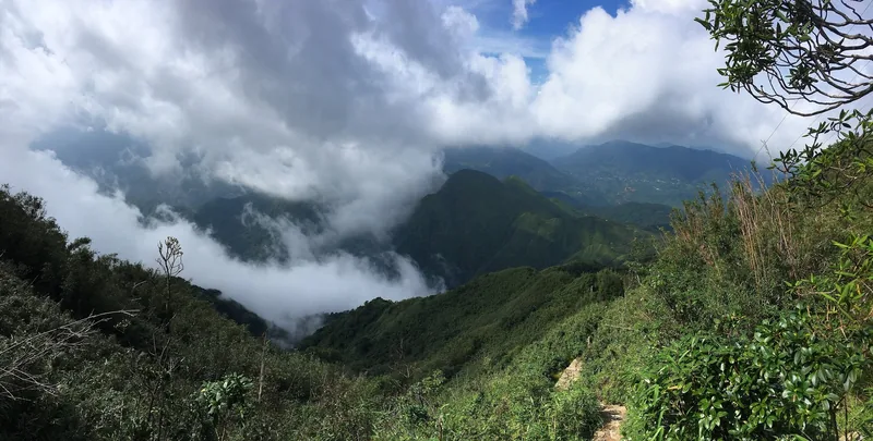
Destinations · Trekking
Pu Ta Leng
Pu Ta Leng trek: routes from Ta Leng commune, days, season, rules, costs and risks.
Read more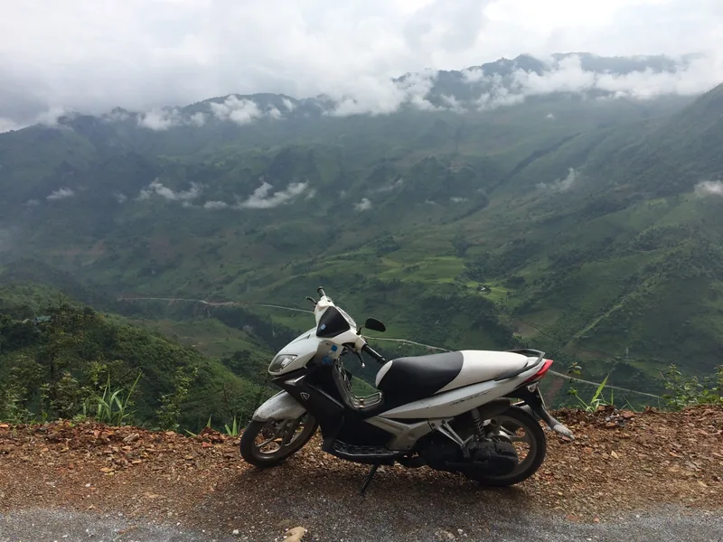
Planning
How many days
Suggested loops in Lai Chau from Sa Pa and Hanoi, with days, distances and where short trips fail.
Read more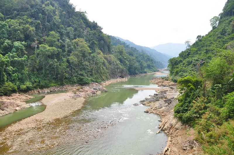
Destinations
Destinations
The main areas of Lai Chau, how far apart they are, and which season suits each.
Read more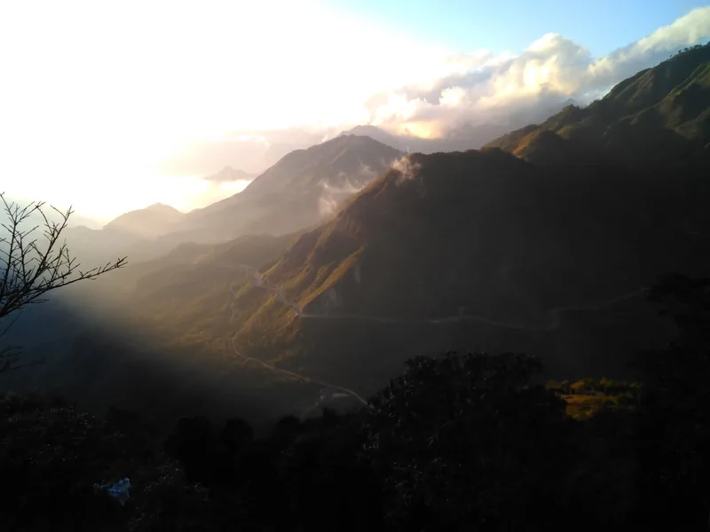
Seasons
When to go
Month-by-month guide to Lai Chau for road trips, treks, rhododendrons and the rice harvest.
Read more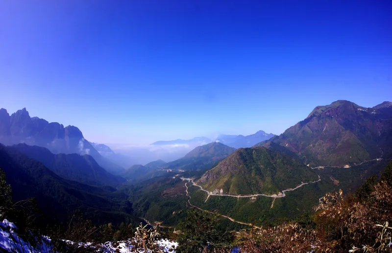
Start planning
Send a correction or a question
Tell us which page you mean, what you found on the road, the trail or an official site, and when. A link to the source helps us check it.